Tag Archives: web mapping
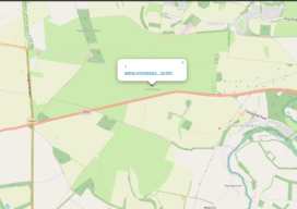
Build a Survey Tracker Map
We all have a little more time on our hands at the moment and it seems like the perfect time to do a little tidy of some of our data and do a little organization. In fact, I’m going to walk you through setting up something that clients have asked me to build for them...
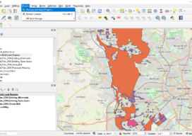
Creating a Web Map Using QGIS2Web
Almost two years ago to the day I wrote Webmapping 3.5 in which I did a walkthrough of QGIS2Web. Since then, QGIS has grown up, and so has QGIS2Web. In the original blog, I discussed how you could use OpenLayers and Leaflet as basemaps. Now you can use Mapbox, too. The layout is improved and...
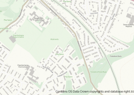
OS Zoomstack – the Gift that Keeps On Giving
On July 17 2018, Ordnance Survey (OS), the United Kingdom’s national mapping agency, released a trial of a product called “OS Zoomstack.” At the time many overlooked it, as Ordnance Survey makes lots of their data over 1:5000 available for free. I have to admit I was one of them. In August of last year,...
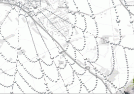
Web Mapping, Part 2
It’s as easy as 1, 2, built. In my last article in this series (December 2015), I briefly discuss the essence of what a web map is and the basic components. This part looks at the easy web mapping solutions that I briefly touch on in the last piece. I then discuss and provide the...
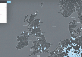
Web Mapping
Part 1, The Basics Children of the millennium will never know that there was a time before the internet when we, the cartographers, engineers, and surveyors had to relate geospatial information through the medium of paper. Although the internet has been around since the late 1980s, it wasn’t until 1996 when the world got the...
Web Waypoints: Web Mapping for Canada
This month’s Web Waypoints column is by a federal geomatics officer from Canada who has had success implementing a national web map. Last year, the Surveyor General Branch of Natural Resources Canada released a web application that provides public land survey information on Canada Lands to any interested party, the Canada Lands Survey System –...
