Tag Archives: stereo imagery

3D Cities from a Single System
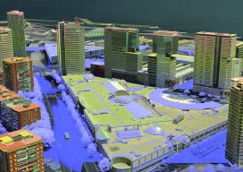
Above: This screenshot is of CityMapper output. A look at the hybrid airborne system that combines lidar with oblique and nadir imagery. Over the last five years I’ve built and used a lot of 3D GIS and BIM models. Almost all of this has required the capture of stereo imagery and oblique imagery and a...
