Tag Archives: SimActive

xyHt News Links: 9/2/16
Satlab New Product Announcement: SLC Handheld Four land surveyors share their experiences of using professional drones in their work. Airobotics Selects SimActive’s Photogrammetry Software for its Automated Industrial Drone Solution Carlson Software Releases BRx6 GNSS Receiver New Kespry Drone 2.0 Has Twice the Aerial Coverage senseFly launches new drone Property Drone Consortium and Marion County,...

SGM
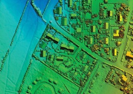
Obtaining economical and accurate point clouds from semi-global matching. In the old days, mappers were thrilled with 30 meter USGS digital elevation models (DEMs). These were available for almost everywhere in the United States. Years later they started producing 10m DEMs, and life was really good. We had one elevation point “on the ground” every...
