Tag Archives: photogrammetry

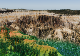
Advancing Geospatial Excellence
Advancing Geospatial Excellence: A model for public-private collaboration

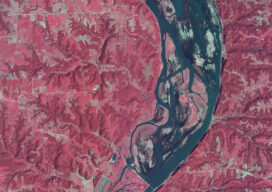
How a federal liaison program and geospatial data help American agriculture
How a federal liaison program and geospatial data help American agriculture

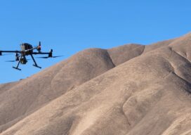
Meteoric Rise of Drone Photogrammetry in Emerging Markets
Meteoric Rise of Drone Photogrammetry in Emerging Markets

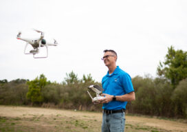
Drone Operators vs. Land Surveyors
Drone Operators vs. Land Surveyors. Are we headed for a confrontation?

New Digital World Needs Data
Next-generation surveyors require specialized education and training to fill the role of geospatial data specialists. Many emerging geospatial applications, such as digital twins, 3D modeling, monitoring, virtual reality, and autonomous vehicles, are based on big digital datasets. Building a 3D digital world starts with accurate data that ties to a point on the ground, so...
