Tag Archives: lidar
Advancing Geospatial Excellence
Advancing Geospatial Excellence: A model for public-private collaboration
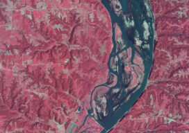
How a federal liaison program and geospatial data help American agriculture
How a federal liaison program and geospatial data help American agriculture

Technology in Action
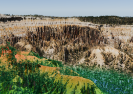
What the Lunabotics 2024 competition tells us about lidar and the future of engineers
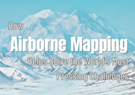
How Airborne Mapping Helps Solve the World’s Most Pressing Challenges
How Airborne Mapping Helps Solve the World’s Most Pressing Challenges
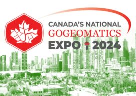
A Geomatics Expo You Should Consider Attending
This October, one of my favorite geomatics events (anywhere) returns. Great track sessions, panels, keynotes, exhibits, a career fair… and fun. The inaugural GoGeomatics Expo, held in November of 2023 in Calgary, Alberta Canada exceeded expectations for attendance, participation, exhibitors, and topical tracks. Coming again this October 28-30 to the same venue in Calgary, this...

xyHt Weekly News Recap: 06/28/2024
The Black Cape Scholarship for Women in Geospatial Intelligence EUSI Delivers SAR Imagery to DLR for Rapid Mapping of Southern Germany Floods Smart Cities Increase Drone Usage Worldwide Woolpert to Collect Aerial Lidar Data Across So. California for USGS Surveying Equipment Market size is set to grow by USD 2.72 billion from 2024-2028