Tag Archives: i3s
Multipurpose GIS with ArcGIS Pro
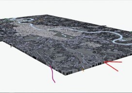
You can now use point clouds and massive geospatial data with GIS through the web and your desktop with new software. Above: London rendered in 3D with London Underground data. For years, point clouds (lidar, laserscan, and multibeam) have been pretty useless to GIS users. When a GIS user had to analyze the data, often...