Tag Archives: GIS

In The News: A Geospatial Year at Woolpert 2017-2018
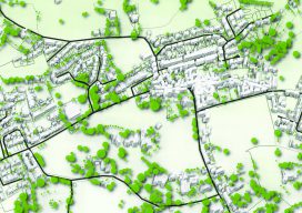
Woolpert has been in business for 107 years, building a strong, broad-based foundation through engineering, surveying, mapping, photogrammetry, lidar collection, GIS, etc., to provide the most comprehensive geospatial support in the industry. In the past year alone our work in each of these sites, represented by these red dots, were spotlighted in the press. They...

QGIS Details
How features are developed, plus details on releases, support, and plugins. Editor’s note: Tim Sutton has been a figurehead for free and open source software (FOSS), is past chair of the QGIS steering committee and is also co-owner of Kartoza. Here he kindly writes about how QGIS works on a project level from his vast...

QGIS: What Is It and How Does It Work?
Editor’s Note: Nowadays everything costs, whether you are a solo practitioner, in a small business, or part of a large firm seeking to expand. You buy a new laptop, you need an operating system, then office software, then a broadband subscription; the cost keeps escalating. Are you bound to this legacy progression of costs? Not...

My First Trip to the Esri UC
No matter what flavor of GIS you roll, there is no ignoring the annual Esri user conference in San Diego. The highlight is the opening plenary session which is always given by the (co) founder of Esri, none other than Jack Dangermond. To discuss this fully, we have to start at the beginning, which was...

Using Ortho Imagery (Digital Aerial) in ArcGIS Pro
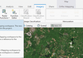
The new version of Esri’s ArcGIS Pro software offers the capability to use stereo imagery, something of great use to those looking to digitize and use 3D vector data. To this end, I thought I would try bringing in some stereo aerial data to see how the process works within ArcGIS Pro. Vague Knowledge At...

New EOS Platform Lets You Run Image Processing Tasks Online
Sponsored Content by EOS Data Analytics Most of your image analysis tasks that required ENVI or Erdas Imagine software are now available online thanks to EOS Platform. This new game-changing cloud service launched by EOS Data Analytics provides GIS professionals with a one-stop solution for search, analysis, storing, and visualization of large amounts of...
