Tag Archives: geospatial

Using Ortho Imagery (Digital Aerial) in ArcGIS Pro
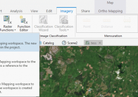
The new version of Esri’s ArcGIS Pro software offers the capability to use stereo imagery, something of great use to those looking to digitize and use 3D vector data. To this end, I thought I would try bringing in some stereo aerial data to see how the process works within ArcGIS Pro. Vague Knowledge At...

New EOS Platform Lets You Run Image Processing Tasks Online
Sponsored Content by EOS Data Analytics Most of your image analysis tasks that required ENVI or Erdas Imagine software are now available online thanks to EOS Platform. This new game-changing cloud service launched by EOS Data Analytics provides GIS professionals with a one-stop solution for search, analysis, storing, and visualization of large amounts of...

Esri CityEngine: What Is It?
These past few weeks I’ve been trying to do some clever augmented reality stuff with Unity involving putting an object on the floor and ensuring it doesn’t wobble when you walk around it. (Yay for SLAM in mobile devices.) Although in software like Unreal and Unity you can download or buy models, what do you...

The Future of Office Software
Cloud-based computing offers advantages in speed and cost, and desktop software is adapting to leverage the benefits. It seems like just yesterday we had dial-up internet connections using 56k modems. It is amazing to observe how technology has evolved and how much our lives depend on being connected. That evolution is driving fundamental changes for...

xyHt Weekly News Links: 12/15/17
Transducers USA Introduces New Custom Ultrasonic Sensors Global Aerial Imaging Market – Expected to Reach $3.2 Billion by 2023 – Research and Markets Maptek unveils new strategic panel caving application Is the Newly Revised Geospatial Data Act Worth Supporting? Phase One Industrial Releases iX Capture 3.0 Software for Aerial Photography Geomni Capturing Aerial Imagery of...

How to Use the New QGIS 3D
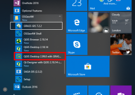
When QGIS revealed that they were going to add a 3D viewer, I was skeptical. Rumors were going around about it being a bolt on functionality and not really being fully adopted. To be perfectly honest, I was put off before there was anything to look at. As screenshots started to appear from Lutra Consulting,...
