Tag Archives: Geoserver
Web Mapping Part 3
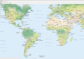
Creating a Real Online Map In part 3 of this series (parts 1 and 2 are in the December 2015 and January 2016 issues), we build a web map using Microsoft Windows and Geoserver. We’ll be building this to run on the computer’s “localhost” (http://127.0.0.1), which means that you can run the web map like...

Web Mapping for Dummies – My Personal Experience
Mapserver or Geoserver … that is the question Okay, let’s clear this up right from the start. If you are building a web map system, you are going to be looking at open source. Sure, there are other methods like Mapbox, CartoDB, QGIS Cloud, LizMaps and others but they mostly promise a free system for...