Tag Archives: cartography
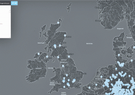
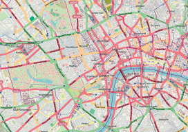
Web Mapping
Part 1, The Basics Children of the millennium will never know that there was a time before the internet when we, the cartographers, engineers, and surveyors had to relate geospatial information through the medium of paper. Although the internet has been around since the late 1980s, it wasn’t until 1996 when the world got the...
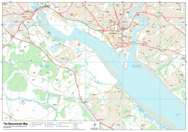
Recreating the Ordnance Survey Explorer Maps with Open Data
The holy grail for many (UK) map users is the Ordnance Survey 1:25,000 scale “Explorer” map. Not only are they easy to read due to the fantastic cartography used, but they also have information which is hard to source such as public rights of way, National Trust & Woodland Trust sites, even wind farms. To...
Why Your Maps Should Get in Touch with Their Feminine Side
Google does it, Apple does it, but do your maps use landmarks to improve users’ familiarity? More to the point, why aren’t popular landmarks a standard GIS dataset? For more than 10 years now we’ve known that the majority of the population use spatial recognition to navigate. When I say “majority.” I mean women and...

Comparing Maps a New Way
Above: The new standards are independent of map scale or contour interval and provide a way to deal with lidar data. ASPRS releases new positional accuracy standards. The positional accuracy of geospatial technologies has improved dramatically in the past few decades, and digital maps have replaced paper maps, making old ways of comparing maps obsolete. Satellite...
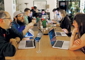
Maptime
A new source of support for mapmakers is spreading internationally. With so many sectors and niches, the spatial/IT industry was falling into silos. Then, seemingly from out of nowhere groups started appearing, first in the United States and then in Europe, under the label “Maptime,” in a similar fashion to the hackathons a decade ago. ...
Dr. Mark Monmonier on Modern Cartography
“I’ve heard people say that cartography is dead. Where might that kind of thinking be coming from?” I asked Dr. Monmonier, distinguished author and professor of geography at Syracuse University. His response was, “Why would anyone in his or her right mind think cartography is, or might be, dead?” This initiated a discussion about people...