Tag Archives: 3D GIS

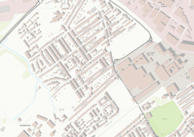
Where on Earth Is the Offset in ArcGIS Pro?
Life used to be nice and easy for us GIS guys. We used to roll out of bed, click start on our GIS software, go back to bed for an hour, and then think about making a nice simple 2D map. Then, all of a sudden everyone starts talking about 3D GIS and being able...

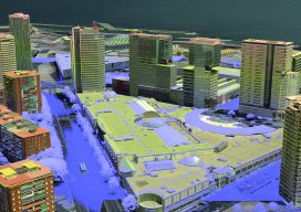
3D Cities from a Single System
Above: This screenshot is of CityMapper output. A look at the hybrid airborne system that combines lidar with oblique and nadir imagery. Over the last five years I’ve built and used a lot of 3D GIS and BIM models. Almost all of this has required the capture of stereo imagery and oblique imagery and a...

Interview with Esri’s Jeremy Wright
At first glance, Jeremy Wright may not seem important: he’s just a product engineer for the world’s largest and most popular GIS. But when I was meeting and interviewing people in San Diego at the Esri UC for xyHt, I made a point of searching for Jeremy. He’s passionate about his work and heavily involved in...

Improving GNSS in the Urban Canyon
To prepare you for the this blog post, I wish to point out that I am a geospatial expert and can hold my own around the ins and outs of survey, so going to an event at the Ordnance Survey on “3D mapping for the improvement of GNSS in urban areas” was an eye-opener. You...

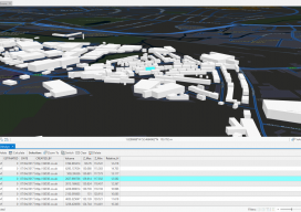
Minimum and Maximum Z Values in ArcGIS Pro
In ArcGIS Pro, why are my minimum and maximum Z values wrong, and how do I fix it? Until recently, this isn’t the kind of question you would expect a GIS user to ask. Of late there have been many innovations in the geospatial software world, and the GIS user is now having to come...

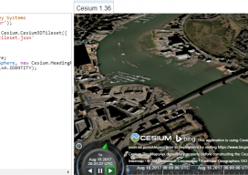
Add 3D Tiles to Cesium 1.36 to Make 3D Virtual Scenes
As blogs come, this has to be (for me) one of the longest. You see, I’ve been playing with Cesiumjs since its beginning and following the exciting beginnings of the “3D Tile” for the last 3 years. I’ve waited patiently, waiting for the moment I could share with the world how fantastic this new technology...
