 Company: Teledyne Geospatial
Current position: Research Scientist
Age: 31
Education: BS in geomatics engineering, University of the West Indies; PhD candidate in Ocean Engineering, University of New Hampshire
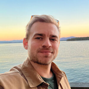
Maingot, from Barbados, found his passion for marine sciences naturally shaped by his island roots. His academic journey began at the University of the West Indies, where he pursued a geomatics degree with a focus on hydrography. This foundation earned him a GEBCO scholarship, propelling him to the University of New Hampshire. He participated in ocean mapping expeditions for the U.S. extended continental shelf program, which solidified his commitment to marine data science and led him to pursue a PhD at UNH.
As a doctoral candidate, he has focused on advancing data processing workflows, specifically developing an automated geometric calibration technique for multibeam echosounder systems, with results soon to be published. His work bridges the gap between academic research and practical application in marine technology.
Now a research scientist at Teledyne Geospatial, Maingot looks at the seafloor through a different lens, applying his expertise to the development of airborne lidar bathymetric systems like CZMIL. His work aims to enhance the understanding of the seafloor, helping the industry achieve clearer, more accurate bathymetric data and products. Maingot’s career is built on a dedication to pushing the boundaries of marine geospatial technologies, contributing to the future of ocean mapping and exploration.

