URISA Adopts Call to Climate Action
As the leading professional organization for GIS professionals, URISA has long supported climate and community resilience efforts. The association has delivered 20 years of GIS emergency management and response and resilience efforts across the globe through GISCorps, to leading development and supporting sustainability and community resilience data efforts, conference sessions, training, and workshops and with the establishment of a dedicated Climate and Community Resilience Committee.
To further strengthen its commitment, the URISA Board of Directors set the bar for the GIS community to do its part in the climate emergency and support communities and GIS professionals in their work when it adopted a Call to Climate Action on October 4, 2023.
Teresa Townsend, AICP is URISA past president, co-chair of URISA’s Climate and Community Resilience Committee and Climate Change and Climate Equity Working Group Chair. In explaining the Call to Action to the URISA board, Townsend stated, “GIS professionals are uniquely positioned to support and build a sustainable and equitable future by leveraging our combined geospatial skills, knowledge, and resources. URISA committees and work groups have been working on climate issues for several years, but we wanted to get our entire organization on board in support of climate actions.”
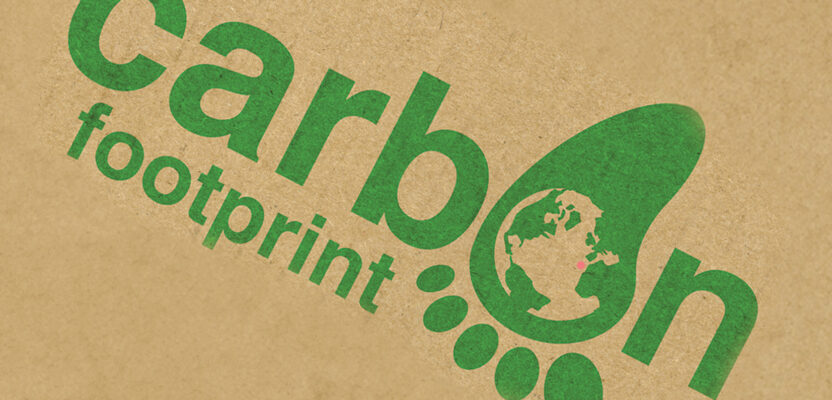
The Climate and Community Resilience Committee began developing the Call to Climate Action last summer and it was finalized and adopted by the URISA board in October. The Call delineates the areas where the overall organization can make positive changes in its daily operations to reduce its organization carbon footprint.
What URISA is doing as an organization
URISA stands as an organization in supporting the United Nation Sustainable Development Goals. We believe that mapping the world around us is about understanding the complex connections that link people, communities, and planet and that we as a profession can use GIS for good.
Understanding these connections uniquely positions us, as GIS professionals, educators, students, and community members, to support and build a sustainable future while upholding climate equity, through a concerted effort that leverages our combined knowledge, skills, and resources.
URISA has a unique opportunity to leverage its expertise in GIS to support community resiliency and climate change.
The adopted URISA Call to Climate Action includes 13 specific strategies:
- Green operations: Implement green practices within the day-to-day functioning of URISA, such as minimizing paper use, reducing energy consumption, promoting remote work, and making sustainable choices for the organization.
- Partner for the planet: For greater impact, collaborate on climate initiatives, pooling resources, and expertise for greater impact to model best practices for other individuals, educational institutions, organizations, businesses, and government agencies. Create synergies that can drive effective climate action and amplify our collective efforts.
- Climate advocacy: In collaboration with the URISA Policy Advisory Committee, the Climate and Community Resilience Committee identifies potential legislation and advocates for policies that encourage sustainable practices and prioritize climate action, using GIS data to inform and support these advocacy efforts.
- GIS community engagement: Engage local communities in climate action projects, providing them with the necessary GIS knowledge and resources to make informed decisions and support advocacy efforts.
- Research support: Support climate-related research by providing GIS resources, data, and expertise.
- Professional development: Promote professional development programs that focus on the intersection of GIS, climate change, sustainability, and resilience, to prepare the next generation of GIS professionals who tackle ongoing and future climate challenges.
- Events and conferences: Minimize the carbon footprint of events and conferences by using digital platforms, choosing eco-friendly venues, providing plant-based meal options, and offsetting any unavoidable emissions. In venue contracts, specify that unused foods be donated to food banks.
- GIS policy for climate and community resiliency: Use the powerful insights provided by GIS to advocate for climate-supportive policies at the local, national, and global level.
- Digital-first approach: Minimize paper usage by digitizing documents, promoting online resources and events, and opting for digital communication methods whenever feasible.
- Promote green transport: Encourage staff, members and event attendees to use public transport, cycling, walking, or carpooling to reduce transportation-related emissions.
- Renewable energy: URISA will offset office emissions by supporting renewable energy credits for remote/office operations.
- Grant opportunities: The Climate and Community Resilience Committee identifies potential grant opportunities that resilience initiatives. URISA can apply to provide enhanced GIS community resources and support, educational and professional development opportunities for our members, and research to advance climate and community resilience initiatives.
- Climate and sustainability education: Develop and offer educational programs on the intersection of GIS and climate science, enhancing awareness of climate change, climate equity, the UN Sustainable Development goals, and providing practical skills for action.
In addition to the commitment for specific actions, URISA creates event-based and other activities to support climate and community resilience initiatives.
To celebrate its 60th anniversary in 2022, URISA participants planted 1,014 trees during the GIS Pro conference in Boise. The trees were donated by attendees and others in partnership with several tree planting nonprofits and local communities. We demonstrated how protecting or restoring ecosystems and creating parks and open spaces that provide health and climate resilience benefits could provide a third of the mitigation benefits needed to meet carbon reduction goals, and how GIS professionals have a tremendous opportunity to contribute by identifying where these solutions will make the biggest impact and tracking and verifying those impacts into the future.
At the 2021 GIS Pro conference in Baltimore, we delivered a half-day workshop titled “Net Positive! Giving Back to Baltimore Through Climate Action Planning.” The interactive workshop achieved two goals: educating participants about climate change GIS, and making meaningful contributions to Baltimore’s Climate Action Plan update. Participants defined data gaps, investigated how climate affects Baltimore’s populations, especially related to equity and climate justice, cultures, and geographic areas; and explored possible climate mitigation and adaptation strategies.