February/March 2025 Archives
Change the Map and Join the Movement
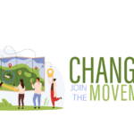
Craig Allan, chairperson of OpenStreetMap Foundation, talks about helping run the world’s biggest community mapping project, working with artificial intelligence, and why after two decades there are still unmapped places
Winterizing

For surveyors, snow and cold can be a real impairment to field work. To some, who choose to bundle up and work through some snow squalls, it may not be as detrimental as rain for completing the field work, but it can still cause a lot of problems.
Weathering Solar Storms
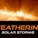
Entering the peak year of the current Solar Cycle, GNSS users are already experiencing negative effects. The good news is that there are planning resources, and many of today’s advanced rovers can ride out all but the roughest solar storms.
What is an Accurate Survey?

The surveying profession has always been a measure-centric profession. What I mean by that is surveyors love their measurements, and that is where the primary focus of surveying practice has been concentrated from the very beginning. We have always been the expert measurers in the room. We can analyze our measurements, run closures, make adjustments, and check those measurements. In other words, we can do the math, and we love doing it.
Advancements in Parcel Mapping Tools – Part 1

Whether a parcel map is created for an engineering project, land development, valuation, tax assessment, land administration and management, for a subdivision, city, county, or whole country, the tools to create and manage them have dramatically improved.
Advancing Geospatial Excellence
Advancing Geospatial Excellence: A model for public-private collaboration