 xyHt magazine’s September 2024 issue focuses on aerial surveying and mapping, with an in-depth look at a map maker who is not a surveyor. Will he change the industry?
As always, if you don’t have a subscription to our print edition, or if someone else in the office has snaffled your copy, don’t fret, here is the digital edition. Click here or on the cover to the right, to view the digital issue of xyHt magazine; or better yet, click here to have us send you a free copy of the print issue.
Here are some highlights:
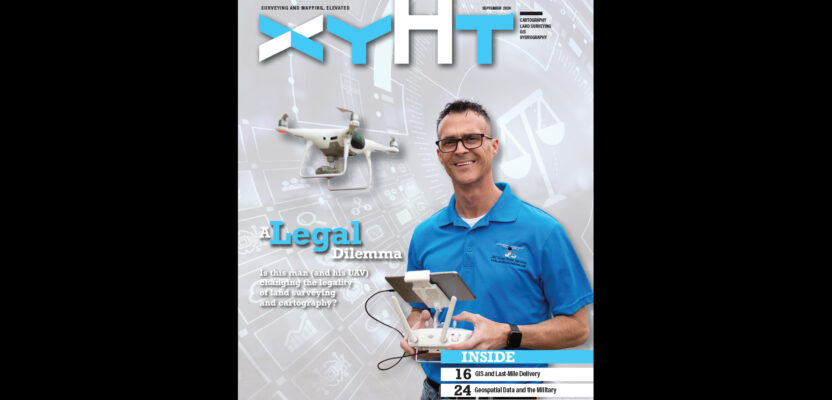
Drone Operators vs. Land Surveyors: Michael Jones, a North Carolina photographer and drone operator, is challenging in court the state’s ruling that he must stop his mapping operations. Will the outcome change surveying and cartography?
Last-Mile Delivery: From GIS to satellite remote sensing and street-level imaging, the latest geospatial technologies are behind every successful delivery, down to the very last mile.
The Freedom to Fly: The ability to fly anywhere, anytime, and to efficiently and quickly deliver high-accuracy, reliable map products literally with the push of a button may seem far-fetched. But is it?
The Forest and the Trees: Foresters have a passion for forest management that is vital to the sustainability of our woodlands. Mette Eli Jensen, a forester at the forefront of transforming this field through the innovative use of lidar.