 xyHt magazine’s October 2024 issue focuses on aerial mapping, with an in-depth look at mapping the world’s critical environments and what aerial mapping and GIS can do to help vineyards make better wine.
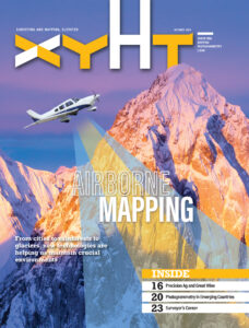
As always, if you don’t have a subscription to our print edition, or if someone else in the office has snaffled your copy, don’t fret, here is the digital edition. Click here or on the cover to the right, to view the digital issue of xyHt magazine; or better yet, click here to have us send you a free copy of the print issue.
Here are some highlights:
Airborne Mapping: Whether it is a major urban area or a remote rainforest, airborne mapping technology is transforming how we develop, preserve, and maintain critical environments around the world.
Precision Agriculture: GIS and smart mapping are helping agriculture around the world. In Portugal it now plays an important role in producing some of the world’s best wine.
The Rise of Photogrammetry: In the past in emerging markets, photogrammetry was expensive and sourced to international companies. Now affordable drones, cameras, and software is putting photogrammetry into the hands of traditional land surveyors.
Surveyor’s Corner: Surveyors are in demand, but we face several problems, but nothing good public relations between surveyors and clients can’t mend.