
 xyHt magazine’s February/March issue highlights mapping and surveying and takes an in-depth look at a few issues involving both.
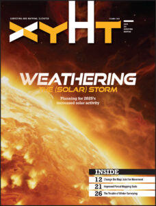
As always, if you don’t have a subscription to our print edition, or if someone else in the office has snaffled your copy, don’t fret, here is the digital edition. Click here or on the cover to the right, to view the digital issue of xyHt magazine; or better yet, click here to have us send you a free copy of the print issue.
Here are some highlights:
Open Mapping: Craig Allan, chairperson of OpenStreetMap Foundation, talks about helping run the world’s biggest community mapping project, working with artificial intelligence, and why after two decades there are still unmapped places.
Weathering Solar Storms: Entering the peak year of the current Solar Cycle, GNSS users are already experiencing negative effects. The good news is that there are planning resources, and many of today’s advanced rovers can ride out all but the roughest solar storms.
Parcel Mapping Tools (Part 1): Whether a parcel map is created for an engineering project, land development, valuation, tax assessment, land administration and management, for a subdivision, city, county, or whole country, the tools to create and manage them have dramatically improved.
Are you Winterized? Winter makes surveying more difficult, but the tough don’t let a little snow and ice stop them.