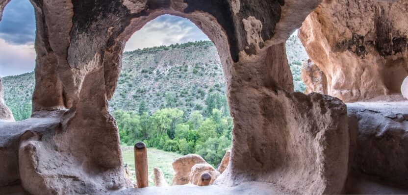
Almost a millennia ago, the Pueblo people inhabited an area of New Mexico near the banks of the Rio Grande. There, they found soft volcanic tuff ideal for carving out homes, storehouses, and communal spaces in large villages that spanned miles. These carved architectural structures, or “cavate dwellings” were cool in the summer and warmed by easterly light in the winter—a type of natural, sustainable architecture.
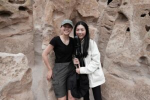 Two graduate students, Gracie Meek and Jialei Tang from the Harvard Graduate School of Design, are capturing the past with new geospatial digital tools. Their recent project at the Bandelier National Monument is a remarkable intersection of cultural heritage and cutting-edge technology.
Meek and Tang used Leica Geosystems’ BLK360 to create detailed digital models of the cave structures and cliff dwellings while working with the National Park Service to complete the project. The result is a first-of-its-kind digital model that preserves these ancient marvels and creates new possibilities for visitors to experience the park in the virtual world.
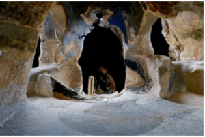
The pair started out scanning the Long House, an 800-foot-long serpentine run of cliff dwellings up to four stories tall. It took them about three days to scan the complete structure, with setups every 10 to 15 feet, and the dodging of the occasional thunderstorm.
 “We weren’t expecting issues with thunderstorms because it wasn’t monsoon season yet,” Meek said. “So, we had to be ready to go up to the threshold of the clouds and then take a gamble. When we were talking to the rangers at Bandelier, they asked us to make one for them for their visitor center, because it provides a novel and comprehensive perspective of the entire cliff dwelling system for the visitors to interact with,” Meek said. “We’re really excited about that.”