Following our coverage of days one and two, here are the highlights of the Esri User Conference 2020 – Day Three Plenary. Lots of goals!
Sustainable Development Goals
A global GIS framework is emerging which brings together many organisations and thousands of data – like a system of systems but some of this data is held by the geospatial elite….we need to release the data for the greater good to address the global challenges
To address these issues, Esri knew they could not do it alone, so they created formed a consortium with a mind to creating and sharing new digital experiences
The collaboration is formed of the United Nations, as the key decision makers need good data to fulfil 2030 Sustainable Development Goals, the statistics division need partners to help to build national information systems. The International Geodesign Collaboration who are using geodesign to look at scenarios, Carl Steiner (friend of Jacks), Microsoft who are providing imagery, and National Geographic Society, who are seeing how the global GIS platform can be used to tell people about their planet and supporting their exploration and science programs (Dr Vicki Phillips, Executive Vice President and Chief Education Officer, National Geographic Society)
The core of all this is the Living atlas and the “Indicators of the planet” which has a dashboard of dashboards with GeoCards (new Esri term) around indicators. Indicators of the Planet draws upon authoritative sources for the latest updates on 18 topics, with more being developed. These are Experience builder templates which encompass a wealth of information within them. Besides the information it also brings together the stakeholders and providers of the data & they in turn can create GeoCards to inform others
“Filling the gap between what we do and citizenry – enabling everyday users” – Jack Dangermond July 15, 2020
Dr. Vicki Phillips
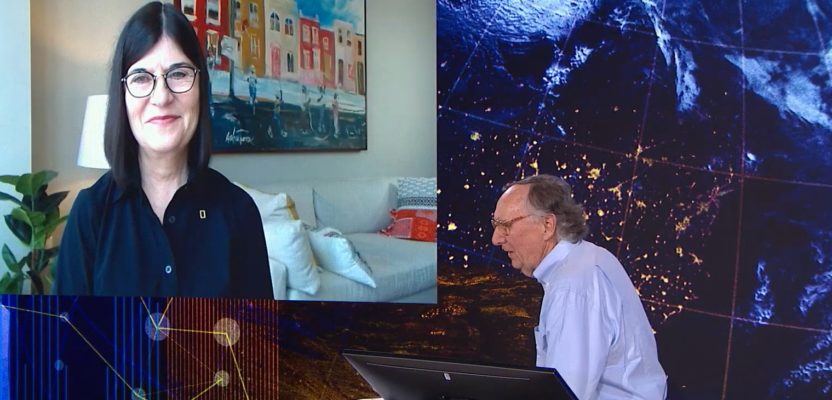
Dr. Vicki Phillips, Executive Vice President and Chief Education Officer, National Geographic Society) spoke on the new vision at the National Geographical Society which focused on empower educators to find new solutions, equipping educators with game-changing tools and field building solutions
The focus being to fuel young people’s curiosity to create innovative solutions. Leveraging the National Geographical Society (NGS) and Esri working together.
Esri and NGS websites will provide free classroom activities relevant to age and skill level through interactive map work, story maps and other means. There are also areas for Teachers providing skills, activities, and lessons.
“We are talking about children who are spatially native, native solution seekers” – Jack Dangermond July 15, 2020
Jeffrey Sachs
Jeffrey Sachs, President of the UN Sustainable Development Solutions Network, UN SDG Advocate, and Director of the Center for Sustainable Development at Columbia University, helped put together the Global Development Goals because:
“The divisions of rich and poor are ripping our planet apart” – Jeffrey Sachs
Put together on September 25th, 2015, the 17 global development goals to combine economics with social inclusion in a way that is environmentally sustainable. Jeffrey goes on to say that, in economics you do not understand spatial, so we need this now as these global problems can only be solved spatially.

Jeffrey Sachs, President of the UN Sustainable Development Solutions Network, speaking in the Day 3 Plenary
Sachs explained in his plenary presentation that If we do not have shared goals, we cannot make a decent planet – we need the global, regional, national and local scale understandings that are the core to achieving the goals.
“Jack, with what you have made possible with NGS and Esri, you have made it possible to look these SDGs and to manage and address them now. With real-time data on greenhouse gases, I was able to reach out to Tsinghua University, China and able to get the (geospatial) data on a GeoCard. I want you to look at these SDGs and ask yourself, how can this be done; how can I help to reach it” – Jeffrey Sachs July 15, 2020
Sachs identifies that the biggest target is SDG 4.7 education for all and the partnership with NGS and serving 100million students is what it’s all about. What NGS and Esri are bringing together is exactly this call is all about, to empower all students using sustainable development.
Updated Conference Stats
- 86,482 registered attendees
- 180 countries (57% U.S. attendees – 43% international)
- 118 live sessions
- 114 on demand workshops
- 250 on demand sessions

