Category Archives: Spatial IT/GIS

Google Glass
The box a Glass arrives in is pretty impressive in and of itself—it reminded me more of Apple packaging for iPads than of typical Android products (top right). A little card underneath the Glass holder tells you that you are special for spending so much money (middle right). There are really very few operating instructions...
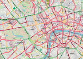
Dr. Mark Monmonier on Modern Cartography
“I’ve heard people say that cartography is dead. Where might that kind of thinking be coming from?” I asked Dr. Monmonier, distinguished author and professor of geography at Syracuse University. His response was, “Why would anyone in his or her right mind think cartography is, or might be, dead?” This initiated a discussion about people...
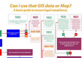
Can I Use That GIS Data or Map?
It’s no big secret, anyone can make maps. Esri even had some children showcasing their abilities at the user conference this year. So why employ a GIS specialist? Well, apart from getting the cartography right, the specialist can advise on the legalities of map & data production. With data becoming ever more available and online maps...

Growing GIS
Many people view Jack Dangermond as the face of commercial GIS, if not the face of GIS as a whole. As the internationally recognized and celebrated leader of Esri, he has led the company from humble beginnings to a leadership role in the GIS industry and community. xyHt recently asked Jack for his views on...
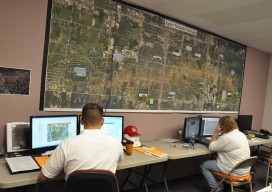
USACE GIS Cadre Mapping Team’s Future
The cadre is a team of Army Corps employees from throughout the nation who are GIS subject-matter experts. When a federally declared disaster occurs the team gets ready to deploy and can be on the ground in just hours, setting up their own equipment even before other agencies are on the scene.
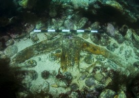
Kennemerland: Repositioning a Dutch East Indiaman
The Kennemerland is now designated as a Historic Marine Protected Area on account of the national importance of the wreck. Recently I was part of a team of archaeological divers sent to Out Skerries by Cotswold Archaeology on behalf of Historic Scotland. We were tasked with checking, updating, and geo-referencing the existing plans of the...
