Category Archives: Spatial IT/GIS
Be Critical of the Data
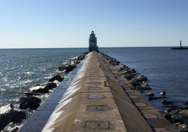
Image above: The author’s view of Lake Michigan as he walked toward the lighthouse at Manitowoc. Not long ago, obtaining data for a surveying or GIS-based project was an arduous task. Because great time and effort was involved with either creating your own data or obtaining data that someone else created, you had to think...
Hayden’s Survey in 3D
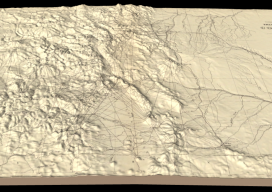
Above image: Hayden’s triangulation survey map is overlaid on a digital elevation model. A GIS project visualizes the fascinating triangulation network created for the historic Hayden survey of Colorado. One of the great surveyors in the American West is undoubtedly Ferdinand Vandeveer Hayden. A physician during the Civil war, he rose to be chief medical...
Who are the “Geo6” and why will this change UK geospatial?
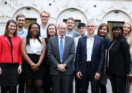
Around the middle of 2017, there was a mumble in the geospatial industry about how the UK government was going to open up more of its geospatial data. There was even an outrageous rumor that Ordnance Survey was going to have to release its multimillion-pound product, Mastermap. Everyone sniggered but watched the news like hawks....
OS Zoomstack – the Gift that Keeps On Giving
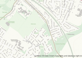
On July 17 2018, Ordnance Survey (OS), the United Kingdom’s national mapping agency, released a trial of a product called “OS Zoomstack.” At the time many overlooked it, as Ordnance Survey makes lots of their data over 1:5000 available for free. I have to admit I was one of them. In August of last year,...

Why I Heart My Geospatial Job
Above: Marc wears a poncho given to him by his students in Paraguay. xyHt celebrates Valentine’s Day by sharing the love our contributors feel about their geospatial careers. Marc Delgado Loves His Students’ Reactions I love to see and hear my students’ initial reactions when they draw their first map from memory. I’m now in...
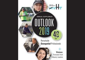
Mahtab Moteab
Geospatial Data Analyst, Geocurve Ltd. Kelvedon, UK Mahta Moteab began her geospatial career with an associate degree in civil engineering technology at the Technical Faculty of Surveying, Tehran, then a Bachelor of Surveying Technology at the Darolfonoon Institute of Higher Education. She has worked as a cartographer, and in photogrammetry as technician, and then as...
