Category Archives: Spatial IT/GIS
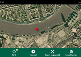
Open Source Field Capture
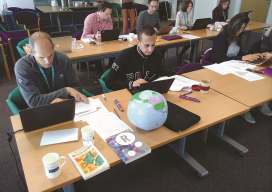
Recently I’ve been doing a bit of GIS training with environmental companies, mostly to help them make the move to open source software. You see, a few companies out there have propriety software licenses that are due to end, but the companies can’t justify the renewal when all they do is draw boundaries on a...
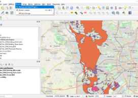
Creating a Web Map Using QGIS2Web
Almost two years ago to the day I wrote Webmapping 3.5 in which I did a walkthrough of QGIS2Web. Since then, QGIS has grown up, and so has QGIS2Web. In the original blog, I discussed how you could use OpenLayers and Leaflet as basemaps. Now you can use Mapbox, too. The layout is improved and...

Creating a Web Map Using Leaflet
In this series I’m describing a few of the different systems that mapping people use to share their web maps. Unlike many of the walkthroughs and tutorials out there, I’m including templates so you can fill in the blanks and learn how to put it on your webhost. First in this series is Leaflet, a...
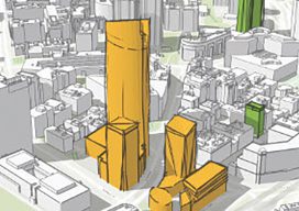
3D and Geospatial Infrastructure
When I look ahead to the future of geospatial infrastructure and 3D, the words that come to mind are: more, faster, and … more! Humans are poor prognosticators when confronted with exponentially increasing or improving factors, and today we see an explosion of capability and content in the geospatial world that will lead to new...
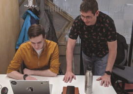
What Is Automation in GIS Mentoring?
Being asked to write about mentoring, I find myself reflecting on my years in GIS … —The multiple teams I’ve managed and the challenges along the way, plus how I approach leadership or mentoring now, and how my teams go about getting advice when no help is present. First though, what do we mean by...
Let’s Be Colleagues: New Settings for GIS Mentoring
Mentoring is a key aspect in any career; otherwise how do we learn what we need to do and how we need to work in a particular environment? Mentoring is even more important for an SME (small- to medium-sized enterprise) or freelancer. Working on your own is increasingly common in the geospatial field, with the...