Category Archives: Spatial IT/GIS

BIM It Up and Fly Them In, Mactan-Cebu Airport!
Designed using building information modeling, Mactan-Cebu International Airport is a tribute not only to technology but also team collaboration and creativity. Featured image: Photomontage (by Marcel Lam) shows the BIM model combined with an actual photo of the Mactan-Cebu International Airport’s roof. Everything about the design of the newly built Terminal 2 at the Mactan-Cebu...
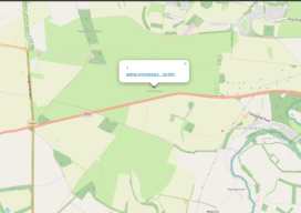
Build a Survey Tracker Map
We all have a little more time on our hands at the moment and it seems like the perfect time to do a little tidy of some of our data and do a little organization. In fact, I’m going to walk you through setting up something that clients have asked me to build for them...

The Many Facets (and Faces) of Surveying
Surveyors have traditionally done a variety of essential and interesting work—and they continue to do so. We’ve asked surveyors from various work disciplines what inspires them. To get an idea of where we are going, it’s important to stop and take a look at where we have been. This rings especially true for those of...

Smart Maps Guide COVID-19 Investigations and Actions
As hundreds of millions of eyes stay glued to the rising toll and reach of the novel coronavirus disease 2019 (COVID-19), map-based dashboards have become a compelling, near real-time way to monitor the outbreak. They’ve also substantiated the message that everyone must take precautions and alter daily interactions. When the World Health Organization (WHO) declared...
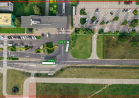
Using Object Detection for More Accurate Live Mapping
Almost a year ago today I was in a meeting where someone was telling me that the project we were working on needed to use LoRa positioning so that diggers and trucks could be tracked on a real-time map. I am not at liberty to give you my full response, but my professional response is...
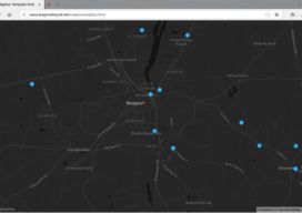
Creating a Web Map Using Mapbox
This blog is born out of pure frustration and my competitive nature. When I was looking at web mapping libraries, I looked at Mapbox and thought, “That will be easy.” Three days later I was pulling my hair out—then the next day I was smiling and happy. You see, Mapbox is similar to Leaflet in...