Category Archives: Hydro/Marine

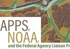
MAPPS, NOAA, and the federal Agency Liaison Program
This is the second in a series of four articles that highlights the MAPPS Federal Agency Liaison Program with federal agency partners and specifically with the National Oceanic and Atmospheric Administration (NOAA) where MAPPS member firms have a strong interest in programs, contracts, and ongoing collaboration. By developing and continuing impactful relationships with federal agencies...

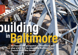
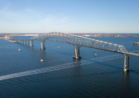
Rebuilding in Baltimore
Surveyors and geospatial professionals will play a key role in rebuilding Baltimore’s Francis Scott Key Bridge

Looking Forward: Dealing with Water
Tragedy, in the form of natural disasters, typically involves the geospatial professions. As an industry we help plan for and react to floods, wildfires, hurricanes, tornadoes and other forms of Mother Nature’s will that wreak havoc on life in a particular place. Although often in a different role, we are called upon when manmade disasters...

Carlson Releases STEM Video Game: Hydrology Engineer
Carlson Software, celebrating its 40th anniversary as a company, has released a STEM video game—Hydrology Engineer. The video game is designed to teach hydrology, a subset of civil engineering, from a practical standpoint. Players will be introduced to both simple and complex concepts of hydrology work with the chance to compete for most efficient design...

Ocean Mapping Effort Makes Progress
Two new partnerships will advance Seabed 2030’s mission to map the entire ocean floor this decade Since ancient Egyptians began studying the Nile River, bathymetry has been the crucial component in hydrography. The great river gave rise to their great civilization, providing fertile soil for farming, water for irrigation, and a means of transportation...

Q&A: 10 Questions with Hydrographer Helen Stewart
Helen Stewart is a multidisciplinary hydrographer with primary focus and expertise in multibeam sonar data processing, including experience in nautical chart surveying, scientific seabed mapping, pipeline inspection, geophysical survey, subsea survey work with both AUVs and ROVs, and geotechnical survey work. How did you get interested in hydrography. Did a specific event trigger your...
