Maps as Art
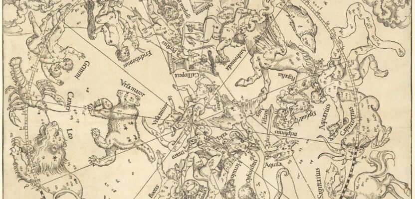
This whimsical map full of imaginary beasts and creatures is the oldest star map (or star chart) printed in Europe. It is based on the woodcuts by the great German painter Albrecht Dürer (1471-1528) who lived at a time when cartography was considered both as a work of art and a navigational tool.
Before GPS, star maps were used by early explorers to plot their course in unknown lands and oceans. A close look reveals that it represents the constellations as seen from the Northern Hemisphere. Can you find the Ursa Minor (Little Dipper) with the Polaris (North Star) at its tip? How about the radial lines that divide the map in 30-degree intervals which overlap with the actual location of the stars?
If you are sailing or walking north of the Equator, the Polaris is an ideal reference point for navigation because it is directly above the Earth’s northern axis of rotation (North Pole).
The accuracy of this map, despite the technological limitations of the period, is impeccable. That’s because to create his woodcuts, Dürer relied on previous charts already drawn by ancient Roman and Arab astronomers.
But to be able to sell his work to a wider market and not just to navigators, he embellished his star maps with characters found in the ancient Roman zodiac tradition. Check out the Twins (Gemini) and the Water-Bearer (Aquarius), as well as other mythological figures.
Aside from their artistic value, the star maps of Dürer were also influential in the work of the Flemish cartographer Gerardus Mercator (1512-1594). The Mercator map projection is widely used in navigation charts to this day, while the Web Mercator or WGS 84/Pseudo-Mercator is the de facto standard for Web mapping used by Google Maps and other way-finding platforms.
Only a few original copies of these celestial maps remain, and they are mostly found in private collections and museums. In 2011, a pair of authentic Dürer star maps were sold at auction for $578,542. 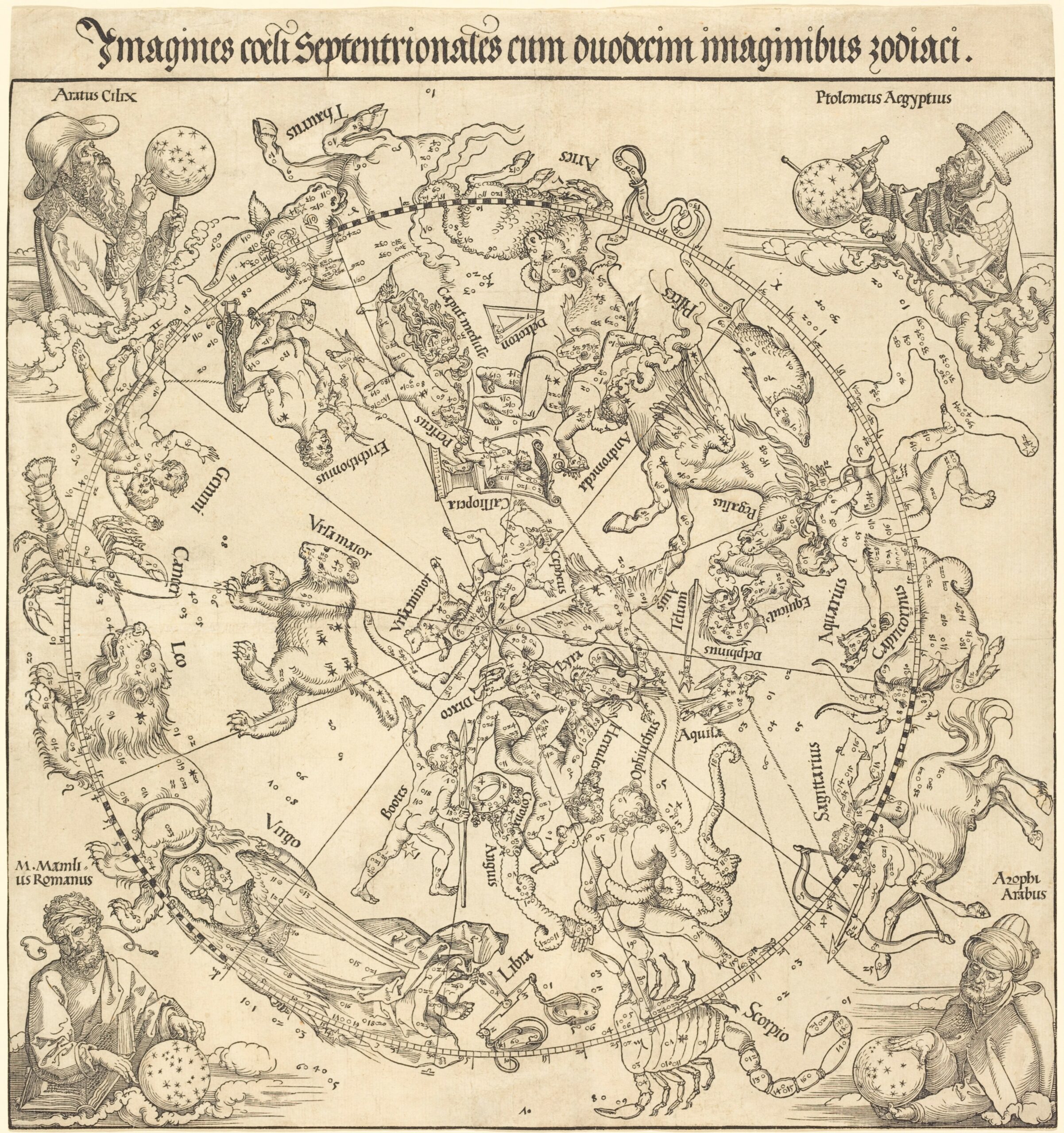
– Marc Delgado