
Blog

Stockpile Reports
How to do enterprise inventory management from image-based 3D reconstruction, in the cloud and in your pocket. “No one wakes up in the morning thinking that they need to buy a point cloud,” says URC Ventures CEO David Boardman. “Most people would be thinking that they need to solve some business problem.” What URC Ventures...

GIS-Ready sUAS
Producing GIS-ready 2D and 3D products to support decisions in transportation. Transportation planners and engineers have often made use of remotely sensed data such as overhead imagery and lidar for mapping, measuring, and monitoring transportation networks. However, despite its utility, remote sensing has failed to achieve its full potential. Remote sensing should be able to...

xyHt News Links: 7/10/15
Carlson Software Releases Surveyor2—A Faster, More Powerful Data Collector for Surveyors ASPRS UAS Mapping 2015 Symposium Program Released

xyHt July 2015
Click here to view the July 2015 issue of xyHt
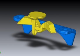
3D Printing Forrealz
Imagine purchasing a new washer and dryer. Inside is a little package with the usual owner’s manual and warranty information, but also … a little usb drive. Imagine receiving a similar usb drive when you purchase a new car. And another when you buy a piece of furniture. You file them away thinking they might...
xyHt News Links: 7/2/15
LFM Software introduces ground-breaking new technology for accessing and adding intelligence to laser scan projects Leica Geosystems Launches HDS Virtual Classroom Be Captivated Live Tours Reveal Future of Surveying
Advertisement