All posts by Gavin Schrock

Advancements in Parcel Mapping Tools- Part 2
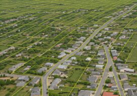
Whether a parcel map is created for an engineering project, land development, valuation, tax assessment, land administration and management, for a subdivision, city, county, or whole country, the tools to create and manage them have dramatically improved. In the past, a key sticking point for surveyors was the lack of solid COGO tools within legacy...
Advancements in Parcel Mapping Tools – Part 1
Whether a parcel map is created for an engineering project, land development, valuation, tax assessment, land administration and management, for a subdivision, city, county, or whole country, the tools to create and manage them have dramatically improved.

Weathering Solar Storms
Entering the peak year of the current Solar Cycle, GNSS users are already experiencing negative effects. The good news is that there are planning resources, and many of today’s advanced rovers can ride out all but the roughest solar storms.
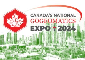
A Geomatics Expo You Should Consider Attending
This October, one of my favorite geomatics events (anywhere) returns. Great track sessions, panels, keynotes, exhibits, a career fair… and fun. The inaugural GoGeomatics Expo, held in November of 2023 in Calgary, Alberta Canada exceeded expectations for attendance, participation, exhibitors, and topical tracks. Coming again this October 28-30 to the same venue in Calgary, this...
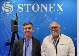
The Challenger
While relatively new to the North American market, there are few in surveying who have not heard of this rising software and hardware provider. However, we often hear "Who is Stonex?" Let's find out…
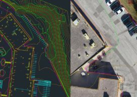
Drone Processing Services: The Importance of Keeping the Human in the Loop
Using a drone processing service can make firms, large and small, more competitive. AI is working wonders for specific steps, but can’t do it all. Vendors and users are finding out how imprtant the human elements is. Drone-based aerial mapping and surveying has evolved, over this first decade of adoption, to include a significant amount...