With the maturity of aerial photogrammetry in the early 1900s in pre-war Germany, military applications, especially reconnaissance and semi-accurate 3D maps and approximate contour lines, became the norm.
After the war, non-military applications multiplied and the need for accuracy grew exponentially. Mapping a post-war Europe became the first priority and establishing new first- and second-order control networks, to replace the destroyed geodetic infrastructure, a close second.
Obtaining stereoscopic pairs from biplanes was not necessarily the most difficult part of the process, but during the war, that was the aspect that received more attention and was more thoroughly developed. The bottleneck was in the construction and establishment of ground control points (GCP) that could be seen on the photograph and would have accurate 3D coordinates to link the resulting map to the surveying network. Europe was devastated by a conflict that was basically a war of trenches and the destruction of the enemy’s infrastructure. Therefore, familiar landmarks and surveying reference points were destroyed or damaged beyond repair.
Land surveyors were stretched to the limit accessing difficult areas and trying to find any remaining geodetic reference points to link their jobs to the national network. On top of this high-order surveying work, a need arose to establish GCPs and measuring their X, Y and Z to have more precise maps. The geometry of these GCPs was essential to guarantee accuracy.
The situation improved somewhat with easier to use transits, the emergence of total stations, electronic distance measuring devices and more recently GPS and GNSS receivers, which are light and highly accurate.
Today, not just in Europe but around the world, the issue is not damaged infrastructure or missing landmarks but cost. How many GCPs are necessary for each job depends on the scale of the flight, the precision required by the customer and the shape of the area to be mapped.
There is also a disruptive element in areas where it is not possible to access the ground in the selected spots. Sometimes the geometry necessary to attain the needed accuracy forces points to be located in areas of difficult access or unmanageable terrain.
Such is the case in Pantanos de Centla, in southeastern Mexico, where a combination of adjacent rain forest, heavy year-round precipitation and low-level topography combine to make the region almost inaccessible by foot.
It was precisely there where a Mexican partner of ours (Juan B. Plaza Consulting Corp.) won a bid to map a series of oil drilling installations, directly in the waters of the Gulf of Mexico and also in the wetlands Northeast of the city of Villahermosa.
Initially we flew aerial photogrammetry missions at 10,000 feet using iXU1000 Phase One cameras with a pixel resolution of 0.20 m onboard a Piper Aztec and from the first images we received at the office, we knew that establishing an appropriate number of GCPs was going to be a problem; at least in a coherent geometry.
We began planning for the 40 or so GCPs that would be necessary, but the geometry of what was needed, was forcing us to establish points in areas that were immersed in wetlands or directly under water. That was when a young photogrammetrist in the company suggested the use of lidar (light detection and ranging) to complement the dismal number of possible sites for GCPs.
The idea was to establish the GCPs in the areas that were firm, and then make a low-level flight with lidar to tie these points into a high-accuracy point cloud that would allow the team to extrapolate the rest of the points digitally.
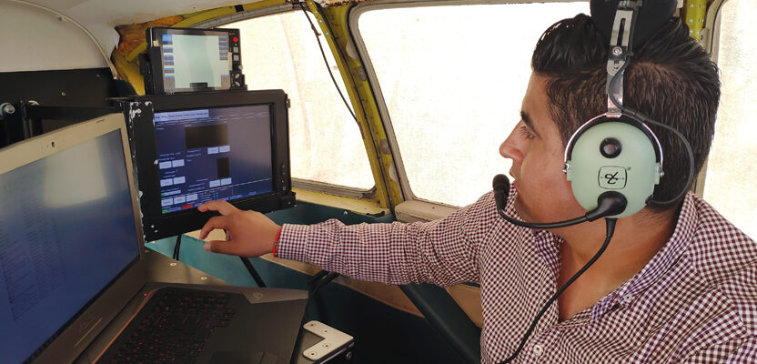
The company has another Piper Aztec equipped with Chiroptera lidar equipment and soon a flight-plan was designed to fly the area in a way that would cover the entire wetlands and surrounding firm land.
Simultaneously, the ground crews were locating, measuring and constructing visual queues that would be visible both in the optical and lidar flights.
A total of 15 GCPs were established in the periphery of the wetlands and then the office work began.
First the lidar data was processed to create the point cloud while another team processed the aerial photography and created a photomosaic of the entire job area.
Then came the laborious effort to identify the GCPs in the lidar images as well as the photomosaic and with that, the technicians could then create new support points that would complement the ground crew job.
Over 100 points were created in a few days, each one containing X, Y and Z coordinates, photo identifiers, and data set, including a graphic sketch of the location.
These points were provided to the triangulation team to be identified and pinned in the model, so the final calculation and adjustment could be made.
The final product was a series of orthophotos and a final orthophoto mosaic with an extremely detailed and rectified digital surface model (DSM).
Lessons Learned
In areas of difficult access or rugged terrain, using lidar is a valid alternative to the establishing of GCPs. A certain amount of GCPs are required to create a basic georeferenced framework, but the bulk of the support points can be acquired from the point cloud at a fraction of the cost.
Not everyone has one aircraft equipped with conventional digital cameras and one equipped with lidar, but the point is that some jobs require the assistance, and perhaps hiring of third parties capable of supplying alternatives to costly ground crews.
In jobs where the issue is expedience, establishing just a few GCPs and then complementing with lidar is a great alternative to gain speed while maintaining accuracy and reliability.

